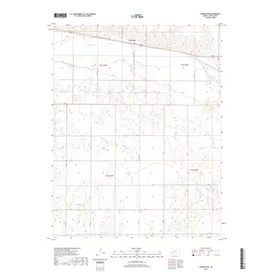
2018 Map of Charleston
USGS Topo · Published 2018About this map
The Arkansas River carves a winding path through this portion of Gray County, defining the local geography of the high plains. The settlement of Charleston sits just north of the river, positioned along a primary transportation corridor that mirrors the water’s westward course. The landscape is structured by a rigorous township and range system, represented by survey lines like t25s r30w and t26s r29w. The map reveals a highly organized grid of rural roads, including K Rd and R Rd, which delineate the agricultural sections typical of western Kansas. This survey illustrates how the combination of a major waterway and formal surveying influenced the layout of rural communities and the accessibility of the surrounding prairie land.
Find a feature on this map
22 named features on this map. Tap any name to fly to it.
Don’t see what you’re looking for? This feature index may not catch every label — zoom into the map to look around manually.
Map Details
Editions of this 2018 Charleston Map
This is the sole edition of this map. No revisions or reprints were ever made.
Other maps of this area

1892 · Dodge
USGS Topo · 1:125,000

1896 · Garden
USGS Topo · 1:125,000

1955 · Dodge City
USGS Topo · 1:250,000

1958 · Dodge City
USGS Topo · 1:250,000

1959 · Dodge City
USGS Topo · 1:250,000

1967 · Pierceville SW
USGS Topo · 1:24,000

1967 · Pierceville
USGS Topo · 1:24,000

1968 · Cimarron NW
USGS Topo · 1:24,000

1968 · Ingalls
USGS Topo · 1:24,000

1968 · Montezuma NW
USGS Topo · 1:24,000