1993 Map of Charleston
USGS Topo · Published 1996About this map
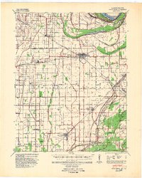
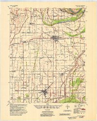
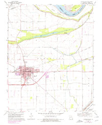
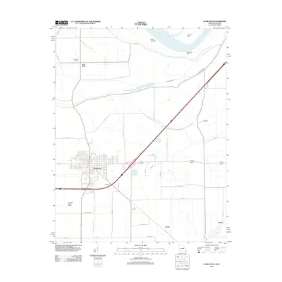
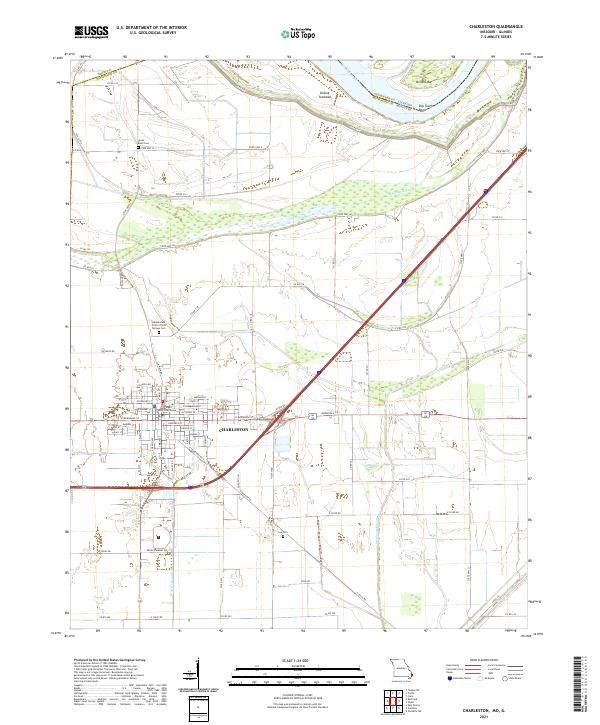
The city of Charleston serves as the focal point for this survey of the northern Mississippi Delta, where the landscape is defined by extensive water management and floodplain engineering. Protected by a massive Levee system, the area features the New Madrid Floodway and a complex network of drainage channels including the Spillway Ditch and Fish Lake Ditch. These features illustrate the region's historical battle against the seasonal rise of the Mississippi River, which borders the Sliding Towhead to the north.
Find a feature on this map
22 named features on this map. Tap any name to fly to it.
Don’t see what you’re looking for? This feature index may not catch every label — zoom into the map to look around manually.
Map Details
Editions of this 1993 Charleston Map
This is the sole edition of this map. No revisions or reprints were ever made.
Historical Maps of Charleston Through Time
8 maps found