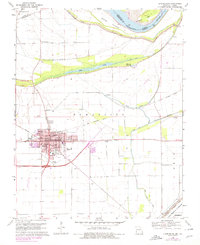
1969 Map of Charleston
USGS Topo · Published 1978About this map
Charleston serves as the focal point of this Mississippi County survey, showing a well-established town grid defined by the Missouri Pacific railroad and a dense concentration of civic and educational institutions. The map captures a moment in 1969 where the community's social landscape is clearly visible through landmarks like the Warren E Hearnes Mus, St Henrys Sch, and Eugene Field Sch. Surrounding the urban center, the land is heavily modified for water management and agriculture, dominated by an extensive network of Levee systems and the Birds Point New Madrid Floodway.
Find a feature on this map
45 named features on this map. Tap any name to fly to it.
Don’t see what you’re looking for? This feature index may not catch every label — zoom into the map to look around manually.
Map Details
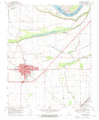
Editions of this 1969 Charleston Map
2 editions found
Other maps of this area

1931 · Cairo
USGS Topo · 1:62,500

1933 · Cairo
USGS Topo · 1:62,500

1934 · Thebes
USGS Topo · 1:62,500

1939 · Wickliffe
USGS Topo · 1:62,500

1939 · Charleston
USGS Topo · 1:62,500

1939 · Cairo
USGS Topo · 1:62,500

1939 · Thebes
USGS Topo · 1:62,500

1949 · Paducah
USGS Topo · 1:250,000

1950 · Paducah
USGS Topo · 1:250,000

1951 · Wickliffe SW
USGS Topo · 1:24,000