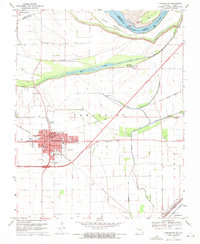
1969 Map of Charleston
USGS Topo · Published 1971About this map
The Mississippi River defines the northern and eastern boundaries of this landscape, its shifting course marked by Sliding Towhead and Browns Bar. The town of Charleston serves as the regional hub, organized around the Missouri Pacific Railroad and a network of schools including St Henrys Sch and Lincoln Sch. The surrounding lowlands are crisscrossed by an extensive Levee system and several drainage features like Big Lake and Stevenson Bayou, which reflect the region's historical efforts to manage the river's floodplain.
Find a feature on this map
54 named features on this map. Tap any name to fly to it.
Don’t see what you’re looking for? This feature index may not catch every label — zoom into the map to look around manually.
Map Details
Editions of this 1969 Charleston Map
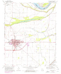
2 editions found
Other maps of this area

1931 · Cairo
USGS Topo · 1:62,500

1933 · Cairo
USGS Topo · 1:62,500

1934 · Thebes
USGS Topo · 1:62,500

1939 · Wickliffe
USGS Topo · 1:62,500

1939 · Charleston
USGS Topo · 1:62,500

1939 · Cairo
USGS Topo · 1:62,500

1939 · Thebes
USGS Topo · 1:62,500

1949 · Paducah
USGS Topo · 1:250,000

1950 · Paducah
USGS Topo · 1:250,000

1951 · Wickliffe SW
USGS Topo · 1:24,000