
Historical Maps of Scott County, Illinois
What stories do these 35 old maps tell about Scott County's past? From 1924 to present day, these maps reveal the evolution of streets, neighborhoods, iconic landmarks, and natural features in stunning high-res detail. Whether you're a history enthusiast, genealogist, or professional in education, environmental work, or architecture, these maps are perfect for exploration, research, and discovery.
Discover Scott County's history through maps:
- Trace Scott County's growth: Explore earlier and latest maps and editions to uncover how the region changed over time.
- Examine technical details: Each map includes its creators, publishers, scale, dimensions, and full source information.
- Layer maps with modern tools & imagery: Compare historical maps to modern-day with high-resolution satellite imagery and detailed LiDAR layers.
- Sourced from trusted archives: Carefully preserved and digitized by institutions like the United Stated Geological Survey and the US Library of Congress.
- Access in any format: View and explore in high resolution, download for offline use, or order a museum-quality print for yourself or a loved one.
Begin your journey into Scott County's history with these remarkable must-see maps.
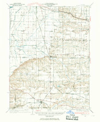
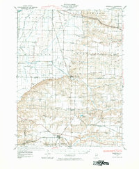
Scott County, IL maps
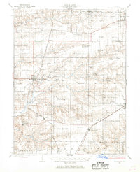
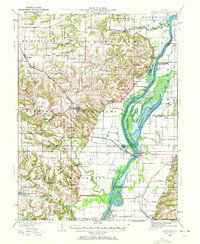
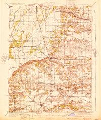
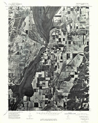
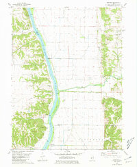
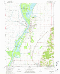
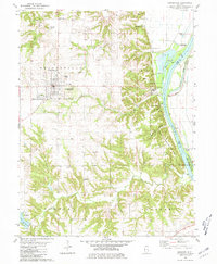
(35)- 1924 Map of Winchester
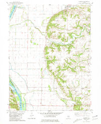
 1924 Winchester1924 Print · USGSCovers Scott County, including Jacksonville, Winchester, and other nearby areas
 - 1924 Map of Griggsville, 1959 Print
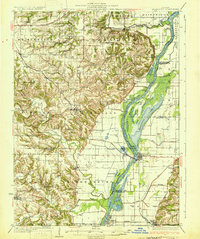
 1924 Griggsville1959 Print · USGSCovers Scott County, including Pittsfield, Griggsville, and other nearby areas
 - 1924 Map of Winchester, 1969 Print
 1924 Winchester1969 Print · USGSCovers Scott County, including Jacksonville, Winchester, and other nearby areas
 - 1924 Map of Griggsville, 1971 Print
 1924 Griggsville1971 Print · USGSCovers Scott County, including Pittsfield, Griggsville, and other nearby areas
 - 1924 Map of Winchester, 1976 Print
 1924 Winchester1976 Print · USGSCovers Scott County, including Jacksonville, Winchester, and other nearby areas
 - 1926 Map of Griggsville
 1926 Griggsville1926 Print · USGSCovers Scott County, including Pittsfield, Griggsville, and other nearby areas
 - 1926 Map of Winchester
 1926 Winchester1926 Print · USGSCovers Scott County, including Jacksonville, Winchester, and other nearby areas
 - 1926 Map of Griggsville
 1926 Griggsville1926 Print · USGSCovers Scott County, including Pittsfield, Griggsville, and other nearby areas
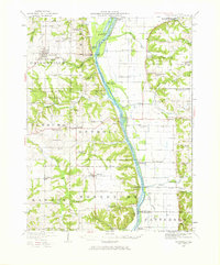
 - 1928 Map of Meredosia, 1958 Print
 1928 Meredosia1958 Print · USGSCovers Scott County, including Mount Sterling, Meredosia, and other nearby areas
 - 1928 Map of Meredosia, 1972 Print
 1928 Meredosia1972 Print · USGSCovers Scott County, including Mount Sterling, Meredosia, and other nearby areas
 - 1929 Map of Arenzville, 1969 Print
 1929 Arenzville1969 Print · USGSCovers Scott County, including Jacksonville, Beardstown, and other nearby areas
 - 1929 Map of Arenzville, 1981 Print
 1929 Arenzville1981 Print · USGSCovers Scott County, including Jacksonville, Beardstown, and other nearby areas
 - 1931 Map of Meredosia
 1931 Meredosia1931 Print · USGSCovers Scott County, including Mount Sterling, Meredosia, and other nearby areas
 - 1931 Map of Meredosia
 1931 Meredosia1931 Print · USGSCovers Scott County, including Mount Sterling, Meredosia, and other nearby areas
 - 1932 Map of Arenzville
 1932 Arenzville1932 Print · USGSCovers Scott County, including Jacksonville, Beardstown, and other nearby areas
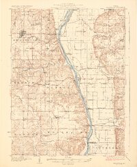
 - 1948 Map of Quincy
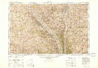
 1948 Quincy1948 Print · USGSCovers Scott County, including Quincy, Hannibal, and other nearby areas
 - 1948 Map of Quincy
 1948 Quincy1948 Print · USGSCovers Scott County, including Quincy, Hannibal, and other nearby areas
 - 1956 Map of Quincy, 1967 Print
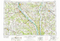
 1956 Quincy1967 Print · USGSCovers Scott County, including Quincy, Hannibal, and other nearby areas
 - 1956 Map of Quincy, 1976 Print
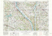
 1956 Quincy1976 Print · USGSCovers Scott County, including Quincy, Hannibal, and other nearby areas
 - 1956 Map of Quincy, 1980 Print
 1956 Quincy1980 Print · USGSCovers Scott County, including Quincy, Hannibal, and other nearby areas
 - 1975 Map of Meredosia SE, 1976 Print
 1975 Meredosia SE1976 Print · USGSCovers Scott County, including Meredosia, Bluffs, and other nearby areas
 - 1980 Map of Bedford, 1981 Print
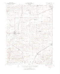
 1980 Bedford1981 Print · USGSCovers Scott County, including Montezuma, Florence, and other nearby areas
 - 1980 Map of Meredosia, 1981 Print
 1980 Meredosia1981 Print · USGSCovers Scott County, including Meredosia, Bluffs, and other nearby areas
 - 1980 Map of Griggsville, 1981 Print
 1980 Griggsville1981 Print · USGSCovers Scott County, including Pittsfield, Griggsville, and other nearby areas
 - 1980 Map of Florence, 1981 Print
 1980 Florence1981 Print · USGSCovers Scott County, including Bluffs, Naples, and other nearby areas
Showing maps 1-25 of 35
Top cities in Scott County
- Winchester historical maps
- Bluffs historical maps
- Manchester historical maps
- Alsey historical maps
- Glasgow historical maps
- Naples historical maps
See more
Frequently asked questions
- What are the different types of historical maps available for Scott County?
- What is the oldest map of Scott County?
- Where can I purchase historical maps of Scott County for my home or office?
- Where can I download high-res historical maps of Scott County?
- Are there historical topographic maps available for Scott County?
- Is there historical aerial imagery available for Scott County?
- Where are historical maps of Scott County sourced from?