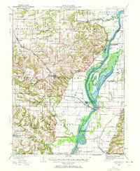
1928 Map of Meredosia
USGS Topo · Published 1972About this map
Illinois River bottomlands dominate this late 1920s survey, revealing a landscape defined by the shifting waters and industrial infrastructure of the era. The river corridor is heavily modified by features such as the La Grange Locks and the South Beardstown Pumping Station, serving as a vital commercial artery for the Wabash RR and river settlements. Major water bodies like Meredosia Lake and Barlow Lake illustrate the complex hydrology of the floodplain before modern drainage altered much of the Illinois valley.
Find a feature on this map
93 named features on this map. Tap any name to fly to it.
Don’t see what you’re looking for? This feature index may not catch every label — zoom into the map to look around manually.
Map Details
Editions of this 1928 Meredosia Map
2 editions found

Historical Maps of Mount Sterling Through Time
10 maps found
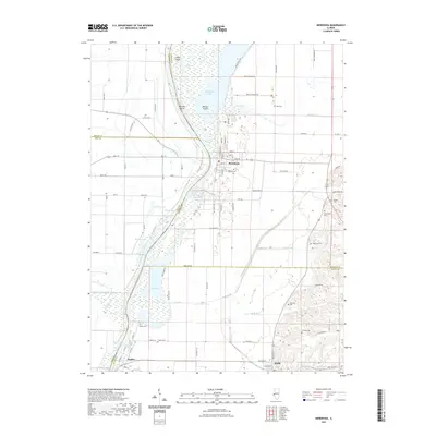
1928 Meredosia
Morgan County, IL

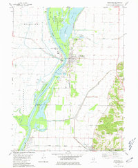
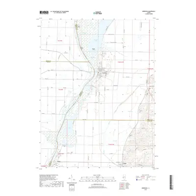
1931 Meredosia
Morgan County, IL
1980 Meredosia
Morgan County, IL

1985 Meredosia
Morgan County, IL

1990 Meredosia
Morgan County, IL
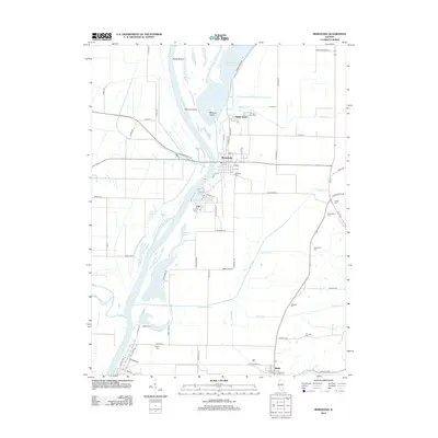
2012 Meredosia
Morgan County, IL
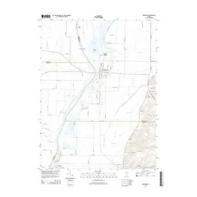
2015 Meredosia
Morgan County, IL
2018 Meredosia
Morgan County, IL
2021 Meredosia
Morgan County, IL
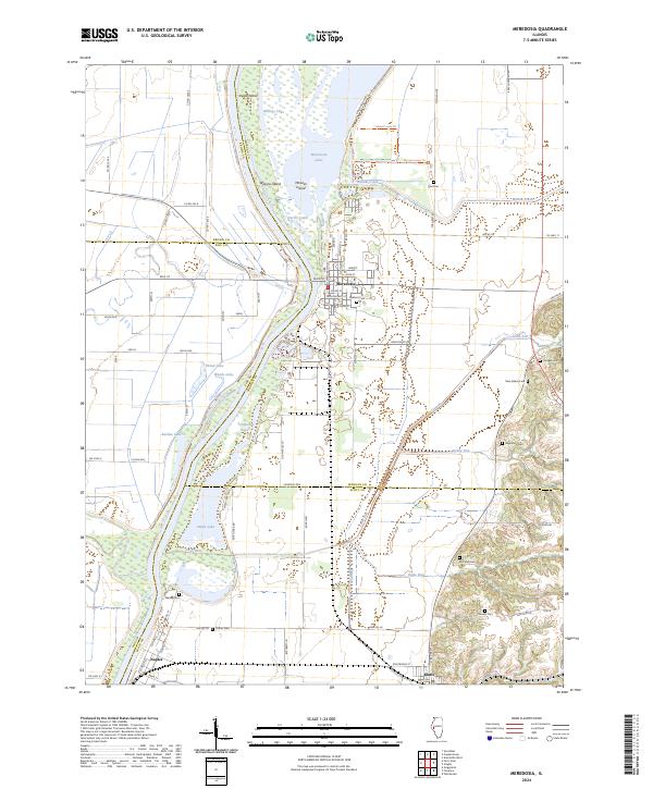
2024 Meredosia
Morgan County, IL