Loading...
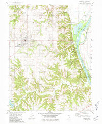
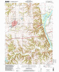
Loading map...1980 Map of Griggsville
USGS Topo · Published 1981About this map
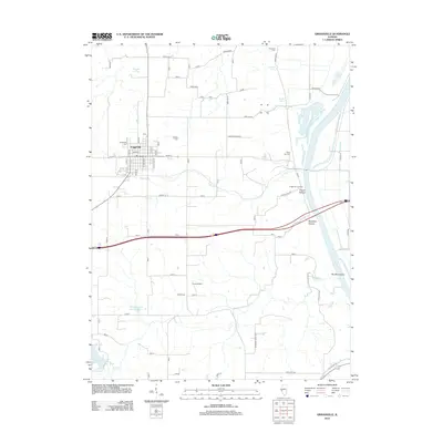
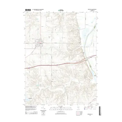
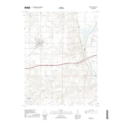
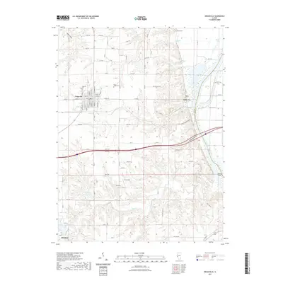
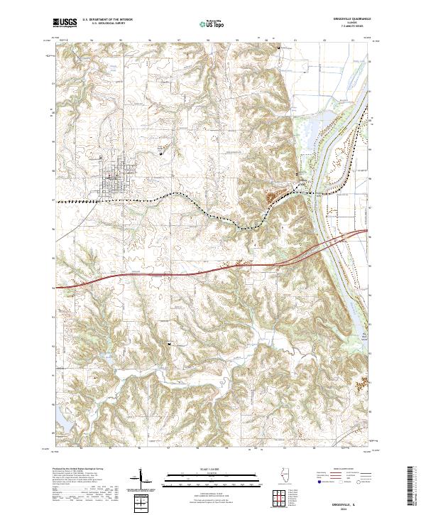
Griggsville serves as the primary hub of this west-central Illinois landscape, where the grid of the town site contrasts with the sharp ravines of Hatch Hollow and Napoleon Hollow leading toward the valley. The eastern edge of the quadrangle is defined by the Illinois River, where commercial and industrial activity is evidenced by a Quarry, a Pumping Station, and the river-crossing infrastructure of the Norfolk and Western railroad.
Find a feature on this map
41 named features on this map. Tap any name to fly to it.
Don’t see what you’re looking for? This feature index may not catch every label — zoom into the map to look around manually.
Map Details
Date Portrayed1980
Date Published1981
PublisherU.S. Geological Survey
Map TypeTopographic
Scale1:24,000
Physical Dimensions22 x 26.7 inches
Editions of this 1980 Griggsville Map
This is the sole edition of this map. No revisions or reprints were ever made.
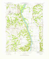
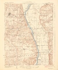
Historical Maps of Pittsfield Through Time
9 maps found
Featured Locations
Source Details
SourceU.S. Geological Survey
CopyrightPublic Domain