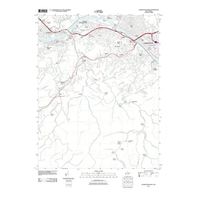
2011 Map of Charleston West
USGS Topo · Published 2011About this map
The Kanawha River serves as the industrial and social spine of this region, dividing the urban centers of Dunbar, South Charleston, and the west side of Charleston. Large river islands like Blaine Island and Wilson Island sit alongside heavy infrastructure, including the Fmc Waste Retention Basin Dam. The landscape quickly transitions from the river's commercial corridor to the steep, hollow-pierced terrain of the Kanawha State Forest area to the south.
Find a feature on this map
103 named features on this map. Tap any name to fly to it.
Don’t see what you’re looking for? This feature index may not catch every label — zoom into the map to look around manually.
Map Details
Editions of this 2011 Charleston West Map
This is the sole edition of this map. No revisions or reprints were ever made.
Other maps of this area

1899 · Charleston
USGS Topo · 1:125,000

1909 · Charleston
USGS Topo · 1:62,500

1909 · Peytona
USGS Topo · 1:48,000

1909 · Saint Albans
USGS Topo · 1:62,500

1911 · Peytona
USGS Topo · 1:62,500

1911 · Madison
USGS Topo · 1:62,500

1929 · Madison
USGS Topo · 1:62,500

1929 · Peytona
USGS Topo · 1:62,500

1931 · Madison
USGS Topo · 1:62,500

1931 · Saint Albans
USGS Topo · 1:62,500