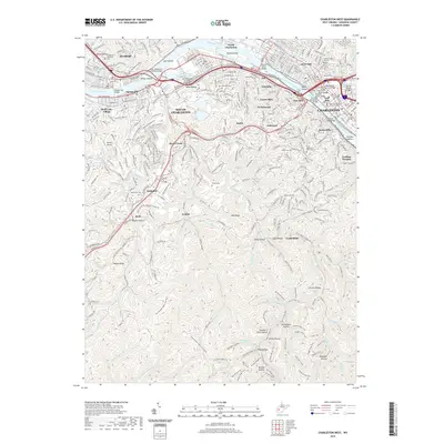
2019 Map of Charleston West
USGS Topo · Published 2019About this map
The Kanawha River serves as the central artery for this portion of Kanawha County, separating the industrial and urban centers of Charleston and Dunbar from the densely forested ridges to the south. Along the northern banks, historical districts like the West Side and East Side connect via a series of spans including the Lee Street Bridge and the South Side Bridge. To the south, the terrain rises sharply into the Kanawha State Forest, a preserved landscape crisscrossed by an extensive network of footpaths such as the Mary Draper Ingles Trail and the Alligator Rock Trail. This topography has historically dictated the settlement patterns of South Charleston and its satellite communities like Ruthdale and Loudon Heights, which are defined by their position within hollows and along creek beds like Davis Creek. The map documents a complex modern infrastructure of overpasses and bridges laid over a landscape steeped in local history, evidenced by numerous family and memorial grounds including Dutch Hollow Cem and Graceland Cem.
Find a feature on this map
126 named features on this map. Tap any name to fly to it.
Don’t see what you’re looking for? This feature index may not catch every label — zoom into the map to look around manually.
Map Details
Editions of this 2019 Charleston West Map
This is the sole edition of this map. No revisions or reprints were ever made.
Other maps of this area

1899 · Charleston
USGS Topo · 1:125,000

1909 · Charleston
USGS Topo · 1:62,500

1909 · Peytona
USGS Topo · 1:48,000

1909 · Saint Albans
USGS Topo · 1:62,500

1911 · Peytona
USGS Topo · 1:62,500

1911 · Madison
USGS Topo · 1:62,500

1929 · Madison
USGS Topo · 1:62,500

1929 · Peytona
USGS Topo · 1:62,500

1931 · Madison
USGS Topo · 1:62,500

1931 · Saint Albans
USGS Topo · 1:62,500