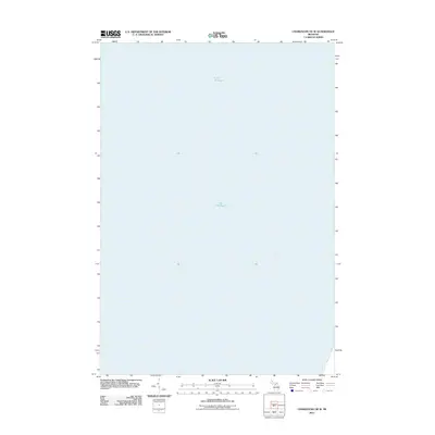
2011 Map of Charlevoix OE W
USGS Topo · Published 2011About this map
Lake Michigan dominates this offshore survey of the waters west of Norwood Township. As part of a 2011 topographic series by the U.S. Geological Survey, this sheet focuses almost entirely on the aquatic expanse of the Great Lakes. The map provides a precise bathymetric and navigational framework for the waters leading toward the Charlevoix coastline. The lack of terrestrial features highlights the deep-water character of this specific quadrant, serving as a specialized record of the lake's open surface and the maritime approaches to Northern Michigan during the early 21st century.
Find a feature on this map
1 named feature on this map. Tap any name to fly to it.
Don’t see what you’re looking for? This feature index may not catch every label — zoom into the map to look around manually.
Map Details
Editions of this 2011 Charlevoix OE W Map
This is the sole edition of this map. No revisions or reprints were ever made.
Other maps of this area

1954 · Central Lake
USGS Topo · 1:62,500

1954 · Charlevoix
USGS Topo · 1:62,500

1955 · Cheboygan
USGS Topo · 1:250,000

1957 · Northport
USGS Topo · 1:62,500

1958 · Cheboygan
USGS Topo · 1:250,000

1983 · Northport
USGS Topo · 1:25,000
1983 · Atwood
USGS Topo · 1:24,000
1983 · Charlevoix
USGS Topo · 1:25,000

1984 · Charlevoix
USGS Topo · 1:100,000
2011 · Northport
USGS Topo · 1:24,000