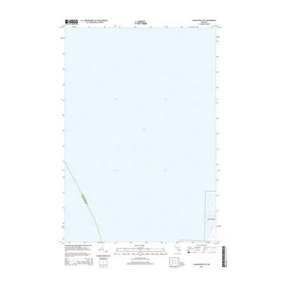
2014 Map of Charlevoix OE W
USGS Topo · Published 2014About this map
Lake Michigan dominates this coastal survey, where the deep blue expanse of the Great Lakes meets the northern Michigan shoreline. The maritime border between Charlevoix Co and Leelanau Co is clearly delineated as it moves through the water, providing a modern cartographic record of this significant county boundary. While the majority of the map focuses on the offshore waters of northern Lake Michigan, the eastern edge of the quadrangle captures the terrestrial transition into t33n r9w. This specific survey reflects the 2014 state of the shoreline and the precise maritime limits of these two counties, serving as a primary reference for the aquatic geography of the region during the early twenty-first century.
Find a feature on this map
5 named features on this map. Tap any name to fly to it.
Don’t see what you’re looking for? This feature index may not catch every label — zoom into the map to look around manually.
Map Details
Editions of this 2014 Charlevoix OE W Map
This is the sole edition of this map. No revisions or reprints were ever made.
Other maps of this area
1954 · Central Lake
USGS Topo · 1:62,500
1954 · Charlevoix
USGS Topo · 1:62,500
1955 · Cheboygan
USGS Topo · 1:250,000
1957 · Northport
USGS Topo · 1:62,500
1958 · Cheboygan
USGS Topo · 1:250,000
1983 · Northport
USGS Topo · 1:25,000
1983 · Atwood
USGS Topo · 1:24,000
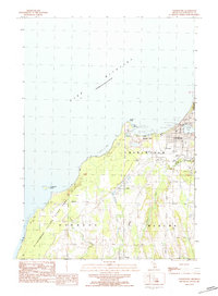
1983 · Charlevoix
USGS Topo · 1:25,000
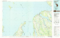
1984 · Charlevoix
USGS Topo · 1:100,000
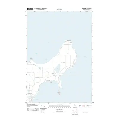
2011 · Northport
USGS Topo · 1:24,000