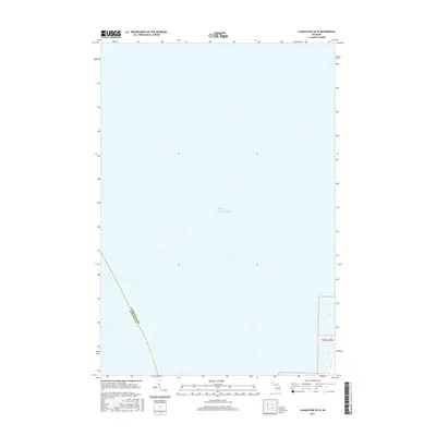
2017 Map of Charlevoix OE W
USGS Topo · Published 2017About this map
Lake Michigan dominates this coastal survey, which documents the maritime border where Charlevoix Co meets Leelanau Co. The map primarily illustrates the open waters of the lake as they appeared in 2017, providing a precise record of the aquatic jurisdiction in northern Michigan. On the eastern edge, the survey includes a sliver of land within t33n r9w, a township and range designation that helps researchers pinpoint the exact coastal topography. This map is essential for understanding the maritime boundaries and the offshore relationship between these two Lake Michigan counties.
Find a feature on this map
5 named features on this map. Tap any name to fly to it.
Don’t see what you’re looking for? This feature index may not catch every label — zoom into the map to look around manually.
Map Details
Editions of this 2017 Charlevoix OE W Map
This is the sole edition of this map. No revisions or reprints were ever made.
Other maps of this area

1954 · Central Lake
USGS Topo · 1:62,500

1954 · Charlevoix
USGS Topo · 1:62,500

1955 · Cheboygan
USGS Topo · 1:250,000

1957 · Northport
USGS Topo · 1:62,500

1958 · Cheboygan
USGS Topo · 1:250,000

1983 · Northport
USGS Topo · 1:25,000
1983 · Atwood
USGS Topo · 1:24,000
1983 · Charlevoix
USGS Topo · 1:25,000

1984 · Charlevoix
USGS Topo · 1:100,000
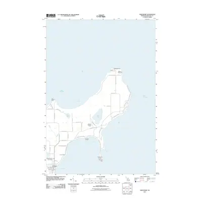
2011 · Northport
USGS Topo · 1:24,000