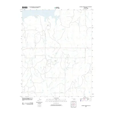
2009 Map of Charley Creek East
USGS Topo · Published 2009About this map
The Arkansas River and the northern reaches of Kaw Lake dominate this Osage County landscape, defining a region where water management and energy extraction coincide. The map reveals a complex network of tributaries, including the branching headwaters of Doga Creek and the winding course of Charley Creek. The presence of the Kaw Oil Field and South Kaw Oil Field highlights the ongoing industrial importance of the area, with numerous access roads like Burbank Landing Rd and Wooten Rd cutting through the rural terrain to service these sites. This topography illustrates the intersection of Oklahoma's hydraulic engineering and its historic petroleum industry, providing a clear record of the infrastructure required to maintain both. Smaller drainages such as Wild Creek and Stewart Creek further detail the local watershed as it feeds into the larger river system.
Find a feature on this map
23 named features on this map. Tap any name to fly to it.
Don’t see what you’re looking for? This feature index may not catch every label — zoom into the map to look around manually.
Map Details
Editions of this 2009 Charley Creek East Map
This is the sole edition of this map. No revisions or reprints were ever made.
Other maps of this area

1916 · Foraker
USGS Topo · 1:62,500

1932 · Fairfax
USGS Topo · 1:62,500

1935 · Kaw
USGS Topo · 1:62,500

1936 · Belford
USGS Topo · 1:62,500

1955 · Enid
USGS Topo · 1:250,000

1958 · Enid
USGS Topo · 1:250,000

1963 · Charley Creek
USGS Topo · 1:24,000

1963 · Uncas
USGS Topo · 1:24,000

1964 · Charley Creek NE
USGS Topo · 1:24,000

1964 · Kaw City
USGS Topo · 1:24,000