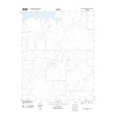
2012 Map of Charley Creek East
USGS Topo · Published 2012About this map
The Kaw Oil Field and South Kaw Oil Field anchor the landscape of this Osage County region, revealing the enduring role of petroleum extraction in northern Oklahoma. These fields are situated amidst a complex drainage network that feeds into the expansive Kaw Lake at the northern edge of the sheet. The terrain is defined by the branching tributaries of Doga Creek, including W Fork Doga Cr, Middle Fork Doga Cr, and E Fork Doga Cr. Transportation is facilitated by a grid of rural routes such as Possum Hollar Rd and Apperson Rd, which connect the scattered industrial sites and agricultural lands. Other significant waterways like Charley Cr, Little Drum Cr, and Wild Cr weave through the area, illustrating the local hydrology before it reaches the Arkansas River system.
Find a feature on this map
31 named features on this map. Tap any name to fly to it.
Don’t see what you’re looking for? This feature index may not catch every label — zoom into the map to look around manually.
Map Details
Editions of this 2012 Charley Creek East Map
This is the sole edition of this map. No revisions or reprints were ever made.
Other maps of this area

1916 · Foraker
USGS Topo · 1:62,500

1932 · Fairfax
USGS Topo · 1:62,500

1935 · Kaw
USGS Topo · 1:62,500

1936 · Belford
USGS Topo · 1:62,500

1955 · Enid
USGS Topo · 1:250,000

1958 · Enid
USGS Topo · 1:250,000

1963 · Charley Creek
USGS Topo · 1:24,000

1963 · Uncas
USGS Topo · 1:24,000

1964 · Charley Creek NE
USGS Topo · 1:24,000

1964 · Kaw City
USGS Topo · 1:24,000