
1963 Map of Charley Creek
USGS Topo · Published 1964About this map
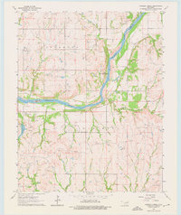
The Arkansas River carves a significant boundary through this Oklahoma landscape, separating Kay and Osage counties during the early 1960s. The region is characterized by a mix of agricultural uplands and active extraction, notably within the Oil Field to the east and the Big Bend Oil Field to the south. Local life is anchored by rural institutions such as the Longwood Ch and the Braden Sch, while the Community Center and the small settlement of McFadden serve as focal points for the surrounding community.
Find a feature on this map
18 named features on this map. Tap any name to fly to it.
Don’t see what you’re looking for? This feature index may not catch every label — zoom into the map to look around manually.
Map Details
Editions of this 1963 Charley Creek Map
4 editions found
Other maps of this area

1935 · Kaw
USGS Topo · 1:62,500

1936 · Belford
USGS Topo · 1:62,500

1955 · Enid
USGS Topo · 1:250,000

1958 · Enid
USGS Topo · 1:250,000

1963 · Uncas
USGS Topo · 1:24,000

1964 · Charley Creek NE
USGS Topo · 1:24,000

1964 · Kaw City
USGS Topo · 1:24,000

1968 · Ponca City SE
USGS Topo · 1:24,000

1968 · Kildare
USGS Topo · 1:24,000
1968 · Ponca City
USGS Topo · 1:24,000