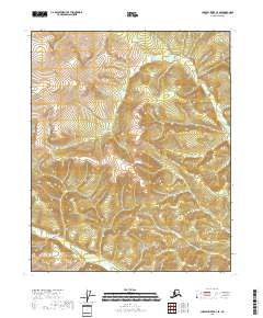
2018 Map of Charley River C-4 SE
USGS Topo · Published 2018About this map
The interior landscape of the Yukon-Koyukuk Census Area reveals a complex drainage network dominated by Judge Cr and its various tributaries. This 2018 survey documents a remote section of the Alaskan wilderness where elevation contours define steep ridges and narrow valleys. Smaller waterways like Mardon Cr and the numbered drainages of Threemile Cr and Sevenmile Cr snake through the terrain, serving as primary geographic landmarks in a region largely devoid of human infrastructure or roads. The map illustrates the Public Land Survey System divisions, showing the junction of Townships 8 and 9 North across Ranges 24 and 25 East.
Find a feature on this map
8 named features on this map. Tap any name to fly to it.
Don’t see what you’re looking for? This feature index may not catch every label — zoom into the map to look around manually.
Map Details
Editions of this 2018 Charley River C-4 SE Map
This is the sole edition of this map. No revisions or reprints were ever made.
Other maps of this area

1951 · Charley River
USGS Topo · 1:250,000

1956 · Charley River B-3
USGS Topo · 1:63,360

1956 · Charley River C-4
USGS Topo · 1:63,360
1956 · Charley River C-3
USGS Topo · 1:63,360

1956 · Charley River B-4
USGS Topo · 1:63,360

1956 · Charley River
USGS Topo · 1:250,000
2018 · Charley River C-3 NW
USGS Topo · 1:25,000
2018 · Charley River B-4 NW
USGS Topo · 1:25,000
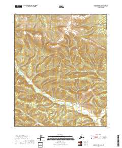
2018 · Charley River C-3 SW
USGS Topo · 1:25,000
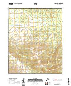
2018 · Charley River C-4 NE
USGS Topo · 1:25,000