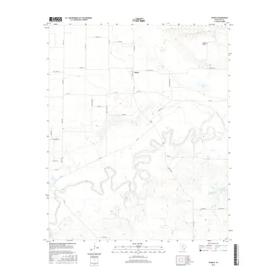
2016 Map of Charlie
USGS Topo · Published 2016About this map
The community of Charlie is situated in a bend of the Wichita River in Clay County, serving as a hub for a network of country roads that trace the agricultural and school district history of the area. The landscape is defined by the winding course of the river and the presence of several water bodies, including Byers Lake to the northeast and the paired industrial reservoirs of Petrolia Lake Number 1 and Petrolia Lake Number 2 to the southeast. Locally named landmarks like Pumpkin Ridge and Hay Cr provide topographic context to this North Texas terrain. Genealogists and local historians can trace legacy land use through thoroughfares such as Fleming School Rd, Upper Garner Rd, and Doyle Edwards Rd, which reflect the family names and rural institutions that shaped the settlement pattern of this river valley.
Find a feature on this map
35 named features on this map. Tap any name to fly to it.
Don’t see what you’re looking for? This feature index may not catch every label — zoom into the map to look around manually.
Map Details
Editions of this 2016 Charlie Map
This is the sole edition of this map. No revisions or reprints were ever made.
Other maps of this area

1954 · Wichita Falls
USGS Topo · 1:250,000

1955 · Lawton
USGS Topo · 1:250,000
1956 · Henrietta
USGS Topo · 1:62,500
1957 · Hastings
USGS Topo · 1:62,500
1957 · Randlett
USGS Topo · 1:62,500
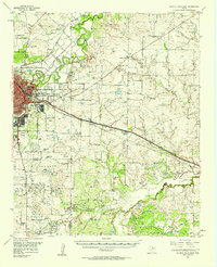
1957 · Wichita Falls East
USGS Topo · 1:62,500
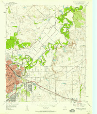
1957 · Wichita Falls East
USGS Topo · 1:24,000

1958 · Wichita Falls
USGS Topo · 1:250,000
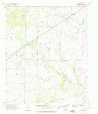
1972 · Dean
USGS Topo · 1:24,000
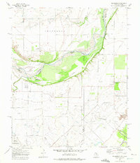
1972 · Thornberry
USGS Topo · 1:24,000