
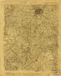
1905 Map of Charlotte
USGS Topo · Published 1905This historical map portrays the area of Charlotte in 1905, primarily covering Mecklenburg County as well as portions of South Carolina. Featuring a scale of 1:48000, this map provides a highly detailed snapshot of the terrain, roads, buildings, counties, and historical landmarks in the Charlotte region at the time. Published in 1905, it is one of 3 known editions of this map due to revisions or reprints.
Map Details
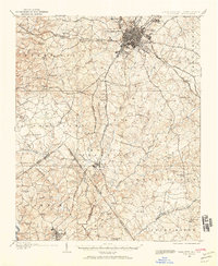
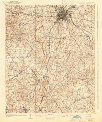
Editions of this 1905 Charlotte Map
3 editions found

Historical Maps of Charlotte Through Time
9 maps found
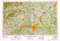
1905 Charlotte
Mecklenburg County, NC
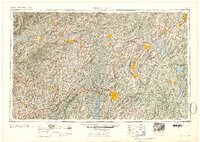
1907 Charlotte
Mecklenburg County, NC

1941 Charlotte
Mecklenburg County, NC
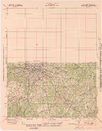
1942 Charlotte
Mecklenburg County, NC
1953 Charlotte
Mecklenburg County, NC
1954 Charlotte
Mecklenburg County, NC

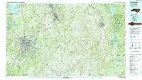
1960 Charlotte
Mecklenburg County, NC

1962 Charlotte
Mecklenburg County, NC
1985 Charlotte
Mecklenburg County, NC
Featured Locations
- Charlotte, NC
- Lancaster County, SC
- Mecklenburg County, NC
- Union County, NC
- Union County, SC
- York County, SC
- North Carolina
- South Carolina