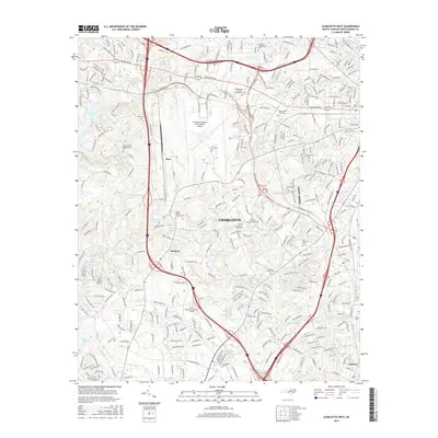
2016 Map of Charlotte West
USGS Topo · Published 2016About this map
Charlotte/Douglas International Airport dominates the central landscape of this western Mecklenburg County area, reflecting the modern infrastructure that has shaped the region. Surrounding this aviation hub are smaller, established communities like Dixie and Shopton, where the landscape transitions into a network of residential developments and historic sites. The map is particularly notable for its dense concentration of community burial grounds and religious landmarks, including Steele Creek Church Cem and Mulberry Presbyterian Cem, which anchor the local geography.
Find a feature on this map
56 named features on this map. Tap any name to fly to it.
Don’t see what you’re looking for? This feature index may not catch every label — zoom into the map to look around manually.
Map Details
Editions of this 2016 Charlotte West Map
This is the sole edition of this map. No revisions or reprints were ever made.
Other maps of this area

1905 · Charlotte
USGS Topo · 1:48,000

1907 · Charlotte
USGS Topo · 1:62,500

1914 · Gastonia
USGS Topo · 1:48,000

1916 · Gastonia
USGS Topo · 1:62,500

1941 · Charlotte
USGS Topo · 1:125,000

1942 · Charlotte
USGS Topo · 1:125,000

1947 · Clover
USGS Topo · 1:62,500

1948 · Paw Creek
USGS Topo · 1:24,000

1948 · Derita
USGS Topo · 1:24,000

1948 · Charlotte East
USGS Topo · 1:24,000