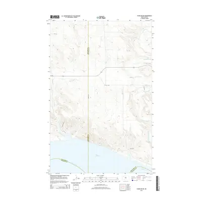
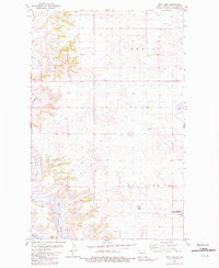
2014 Map of Charlson NE
USGS Topo · Published 2014About this map
Lake Sakakawea and the wide channel of the Missouri River dominate the southern boundary of this landscape, where the borders of Williams, Mountrail, and McKenzie counties converge. The rugged draws and coulees of the Missouri breaks lead northward into a high prairie dissected by the White Earth River and Alkali Cr. This 2014 survey documents a modern rural grid of section roads, including 100th Ave NW and 102nd Ave NW, interspersed with historical transit corridors like the Old Senic Hiway. The topographic relief illustrates the transition from the river valley's steep bluffs to the rolling uplands of the Williston Basin, a region defined by its hydrology and the enduring legacy of the Lewis and Clark trail along the Missouri.
Find a feature on this map
16 named features on this map. Tap any name to fly to it.
Don’t see what you’re looking for? This feature index may not catch every label — zoom into the map to look around manually.
Map Details
Editions of this 2014 Charlson NE Map
This is the sole edition of this map. No revisions or reprints were ever made.
Other maps of this area

1953 · Williston
USGS Topo · 1:250,000

1957 · Williston
USGS Topo · 1:250,000
1965 · Charlson
USGS Topo · 1:24,000
1965 · Charlson SW
USGS Topo · 1:24,000
1965 · Charlson NE
USGS Topo · 1:24,000
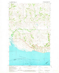
1965 · Charlson NW
USGS Topo · 1:24,000
1979 · Tioga SE
USGS Topo · 1:24,000
1979 · Tioga SW
USGS Topo · 1:24,000
1981 · Manitou
USGS Topo · 1:24,000
1981 · Rat Lake
USGS Topo · 1:24,000