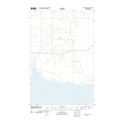
2011 Map of Charlson NW
USGS Topo · Published 2011About this map
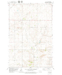
Lake Sakakawea and the winding course of the Missouri River dominate the southern landscape of this Williams County quadrangle. The terrain transitions from the water's edge into a systematic grid of section roads, including 105th Rd and 57th St NW, which serve the agricultural and industrial interior. Central to the region's economic activity is the Hofflund Gas and Oil Field, indicating the importance of energy extraction in this portion of North Dakota. The drainage of Dry Fork Creek cuts through the center of the sheet, while Highway 1804 provides a primary east-west corridor above the reservoir's northern banks. This map documents a landscape defined by the intersection of major water management projects and the modern petroleum industry.
Find a feature on this map
15 named features on this map. Tap any name to fly to it.
Don’t see what you’re looking for? This feature index may not catch every label — zoom into the map to look around manually.
Map Details
Editions of this 2011 Charlson NW Map
This is the sole edition of this map. No revisions or reprints were ever made.
Other maps of this area
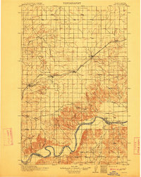
1911 · Ray
USGS Topo · 1:125,000

1953 · Williston
USGS Topo · 1:250,000

1957 · Williston
USGS Topo · 1:250,000
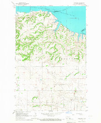
1965 · Charlson
USGS Topo · 1:24,000
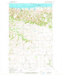
1965 · Charlson SW
USGS Topo · 1:24,000
1965 · Charlson NE
USGS Topo · 1:24,000
1965 · Charlson NW
USGS Topo · 1:24,000
1969 · Red Mike Hill
USGS Topo · 1:24,000
1978 · Tobacco Garden Bay
USGS Topo · 1:24,000
1978 · Ray SE
USGS Topo · 1:24,000