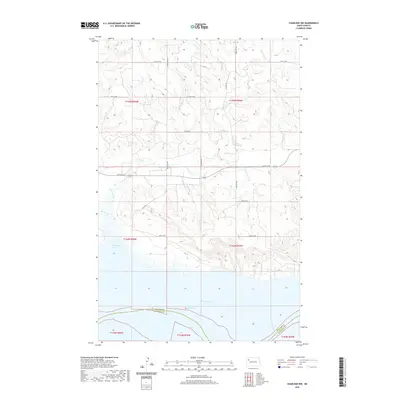
2020 Map of Charlson NW
USGS Topo · Published 2020About this map
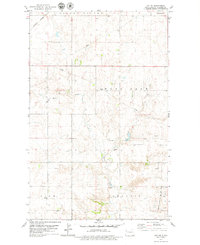
Lake Sakakawea and the Missouri River define the southern landscape of this Williams County quadrangle. The map documents the northern reaches of the reservoir where it meets the river channel, featuring the broad indentation of Hofflund Bay. To the north, the terrain transitions into a structured grid of rural roads and section lines, with drainage provided by the seasonal flows of Dry Fork Cr and Beaver Cr. This area illustrates the late-twentieth-century management of the Missouri River Basin, where expansive water projects meet the traditional agricultural layout of the High Plains. Essential transportation routes like Co Hwy 23 and various numbered section roads, such as 54th St NW, connect the remote farmsteads and upland plateaus typical of this region north of the Missouri.
Find a feature on this map
20 named features on this map. Tap any name to fly to it.
Don’t see what you’re looking for? This feature index may not catch every label — zoom into the map to look around manually.
Map Details
Editions of this 2020 Charlson NW Map
This is the sole edition of this map. No revisions or reprints were ever made.
Other maps of this area
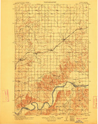
1911 · Ray
USGS Topo · 1:125,000

1953 · Williston
USGS Topo · 1:250,000

1957 · Williston
USGS Topo · 1:250,000
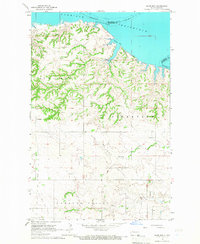
1965 · Charlson
USGS Topo · 1:24,000
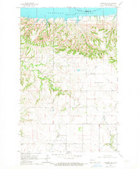
1965 · Charlson SW
USGS Topo · 1:24,000
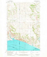
1965 · Charlson NE
USGS Topo · 1:24,000
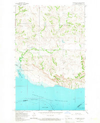
1965 · Charlson NW
USGS Topo · 1:24,000
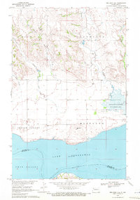
1969 · Red Mike Hill
USGS Topo · 1:24,000
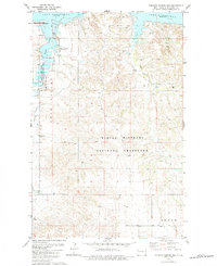
1978 · Tobacco Garden Bay
USGS Topo · 1:24,000
1978 · Ray SE
USGS Topo · 1:24,000