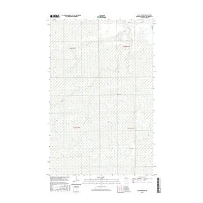
2016 Map of Chase Brook
USGS Topo · Published 2016About this map
Rapid River winds through the wetland landscape of northern Minnesota, defining the drainage patterns of this corner of Lake of the Woods County. The terrain is characterized by a dense network of watercourses, including Chase Brook, Miller Cr, Thompson Cr, and Frog Cr, which cut through the low-lying interior. This 2016 survey illustrates a largely undeveloped wilderness where human infrastructure is limited to a sparse grid of rural routes.
Find a feature on this map
15 named features on this map. Tap any name to fly to it.
Don’t see what you’re looking for? This feature index may not catch every label — zoom into the map to look around manually.
Map Details
Editions of this 2016 Chase Brook Map
This is the sole edition of this map. No revisions or reprints were ever made.
Other maps of this area
1919 · Peppermint Creek
USGS Topo · 1:62,500
1919 · G
USGS Topo · 1:62,500
1919 · Knutson
USGS Topo · 1:62,500
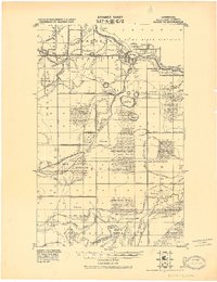
1921 · Baudette
USGS Topo · 1:62,500
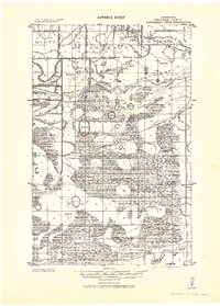
1943 · Peppermint Creek
USGS Topo · 1:62,500

1954 · Roseau
USGS Topo · 1:250,000

1957 · Roseau
USGS Topo · 1:250,000

1958 · Roseau
USGS Topo · 1:250,000
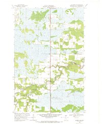
1968 · Baudette SE
USGS Topo · 1:24,000
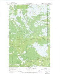
1968 · Graceton SE
USGS Topo · 1:24,000