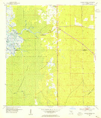
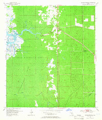
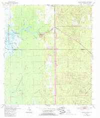
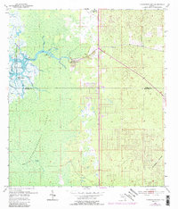
1954 Map of Chassahowitzka
USGS Topo · Published 1955About this map
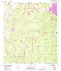
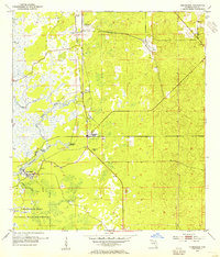
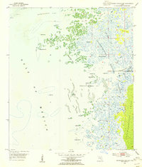
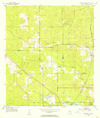
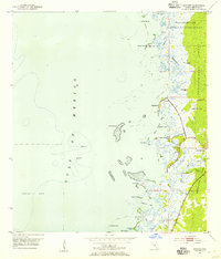
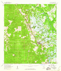
The Chassahowitzka River winds through a vast coastal wetland system in this mid-century survey, defining the boundary between Citrus and Hernando counties. The settlement of Chassahowitzka sits at the edge of this amphibious landscape, where the terrestrial hardwood stands of the Annutteliga Hammock give way to the tidal influence of the Chassahowitzka Swamp. The map details a complex network of spring-fed and tidal waterways, including Potter Creek, Baird Cr, and Crawford Creek, which meander toward the Gulf.
Find a feature on this map
21 named features on this map. Tap any name to fly to it.
Don’t see what you’re looking for? This feature index may not catch every label — zoom into the map to look around manually.
Map Details
Editions of this 1954 Chassahowitzka Map
4 editions found
Other maps of this area

1895 · Tsala Apopka
USGS Topo · 1:62,500
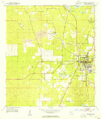
1954 · Lecanto
USGS Topo · 1:24,000
1954 · Homosassa
USGS Topo · 1:24,000
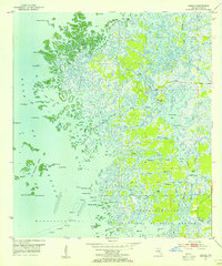
1954 · Chassahowitzka Bay
USGS Topo · 1:24,000
1954 · Brooksville NW
USGS Topo · 1:24,000
1954 · Brooksville
USGS Topo · 1:24,000
1954 · Bayport
USGS Topo · 1:24,000
1954 · Weekiwachee Springs
USGS Topo · 1:24,000
1954 · Ozello
USGS Topo · 1:24,000
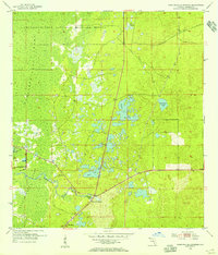
1954 · Inverness
USGS Topo · 1:62,500