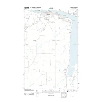
2011 Map of Chassell
USGS Topo · Published 2011About this map
Michigan Technological University sits prominently along the southern shore of Portage Lake, anchoring a region defined by its industrial history and maritime connections. This survey records the landscape of the Keweenaw Peninsula, where the urban centers of Houghton and Hancock face each other across the narrow channel. The shoreline is dense with historical industrial infrastructure, including the Micheal Messner Coal Dock, the Julio Contracting Company, and the U. P. Power Company Coal Dock, illustrating the continued importance of the waterway for heavy materials transport.
Find a feature on this map
94 named features on this map. Tap any name to fly to it.
Don’t see what you’re looking for? This feature index may not catch every label — zoom into the map to look around manually.
Map Details
Editions of this 2011 Chassell Map
This is the sole edition of this map. No revisions or reprints were ever made.
Other maps of this area

1915 · Houghton
USGS Topo · 1:62,500

1946 · Hancock
USGS Topo · 1:24,000

1946 · Chassell
USGS Topo · 1:24,000

1946 · South Range
USGS Topo · 1:24,000

1946 · Laurium
USGS Topo · 1:24,000

1948 · South Range
USGS Topo · 1:24,000

1948 · Laurium
USGS Topo · 1:24,000

1948 · Hancock
USGS Topo · 1:24,000

1948 · Chassell
USGS Topo · 1:24,000

1954 · Oskar
USGS Topo · 1:24,000