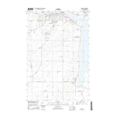
2014 Map of Chassell
USGS Topo · Published 2014About this map
The southern shore of the Keweenaw Waterway defines the northern edge of this area, where the adjacent cities of Hancock and Houghton bridge the channel. Further south, the landscape shifts into the residential and rural clusters of Hurontown, Dodgeville, and Superior, eventually reaching the timber and lakeside community of Chassell on the shores of Pike Bay. The map provides significant detail for local historians, showing the extent of the Keweenaw National Historical Park and the locations of several community burial grounds including Forest Hill Cem and Chassell Township Cem. The Pilgrim River and its various tributaries, such as Denton Cr and the Little Otter River, wind through the central highlands before draining into Portage Lake, illustrating the complex hydrology of the Copper Country's interior.
Find a feature on this map
86 named features on this map. Tap any name to fly to it.
Don’t see what you’re looking for? This feature index may not catch every label — zoom into the map to look around manually.
Map Details
Editions of this 2014 Chassell Map
This is the sole edition of this map. No revisions or reprints were ever made.
Other maps of this area

1915 · Houghton
USGS Topo · 1:62,500

1946 · Hancock
USGS Topo · 1:24,000

1946 · Chassell
USGS Topo · 1:24,000

1946 · South Range
USGS Topo · 1:24,000

1946 · Laurium
USGS Topo · 1:24,000

1948 · South Range
USGS Topo · 1:24,000

1948 · Laurium
USGS Topo · 1:24,000

1948 · Hancock
USGS Topo · 1:24,000

1948 · Chassell
USGS Topo · 1:24,000

1954 · Oskar
USGS Topo · 1:24,000