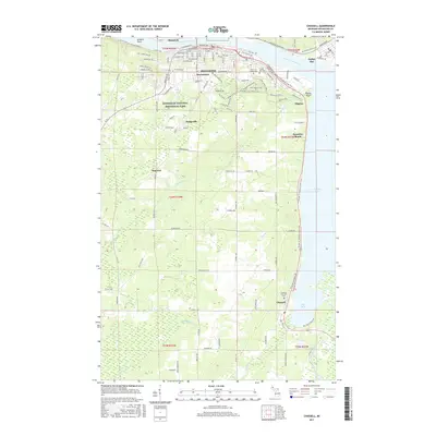
2017 Map of Chassell
USGS Topo · Published 2017About this map
The Keweenaw Waterway dominates this Copper Country landscape, serving as the industrial and navigational artery between Houghton and Hancock. The southern portion of this 2017 survey reveals the wetlands and drainage basins of the Sturgeon River and Pike River as they empty into Pike Bay near Chassell. This area demonstrates a distinct transition from the dense urban grid of the northern canal towns to the rural reaches of t54n r34w.
Find a feature on this map
145 named features on this map. Tap any name to fly to it.
Don’t see what you’re looking for? This feature index may not catch every label — zoom into the map to look around manually.
Map Details
Editions of this 2017 Chassell Map
This is the sole edition of this map. No revisions or reprints were ever made.
Other maps of this area

1915 · Houghton
USGS Topo · 1:62,500

1946 · Hancock
USGS Topo · 1:24,000

1946 · Chassell
USGS Topo · 1:24,000

1946 · South Range
USGS Topo · 1:24,000

1946 · Laurium
USGS Topo · 1:24,000

1948 · South Range
USGS Topo · 1:24,000

1948 · Laurium
USGS Topo · 1:24,000

1948 · Hancock
USGS Topo · 1:24,000

1948 · Chassell
USGS Topo · 1:24,000

1954 · Oskar
USGS Topo · 1:24,000