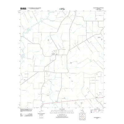
2012 Map of Chataignier
USGS Topo · Published 2012About this map
Chataignier serves as the focal point of this Evangeline Parish landscape, surrounded by an intricate network of rural roads and family-named landmarks. The terrain is defined by the winding paths of Bayou Des Cannes and Bayou Marron, which cut through the agricultural land and oil fields. This 2012 survey illustrates a deeply rooted community, evidenced by numerous family cemeteries such as the Leon Manuel Cem, Guillory Cem, and Fontenot Cem.
Find a feature on this map
102 named features on this map. Tap any name to fly to it.
Don’t see what you’re looking for? This feature index may not catch every label — zoom into the map to look around manually.
Map Details
Editions of this 2012 Chataignier Map
This is the sole edition of this map. No revisions or reprints were ever made.
Other maps of this area

1939 · Opelousas
USGS Topo · 1:62,500

1947 · Ville Platte
USGS Topo · 1:31,680

1947 · Redland
USGS Topo · 1:31,680

1947 · Chataignier
USGS Topo · 1:31,680

1947 · Eunice
USGS Topo · 1:31,680

1947 · Pitreville
USGS Topo · 1:31,680

1952 · Lake Charles
USGS Topo · 1:250,000

1954 · Lake Charles
USGS Topo · 1:250,000

1956 · Opelousas
USGS Topo · 1:62,500

1957 · Opelousas
USGS Topo · 1:62,500