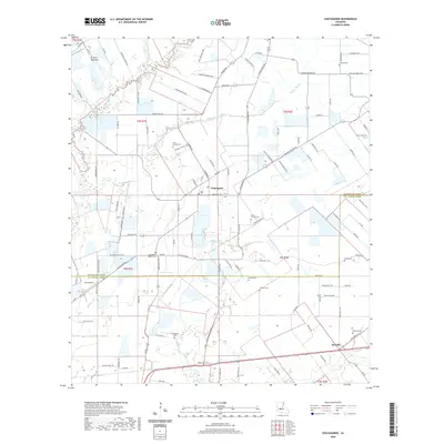
2020 Map of Chataignier
USGS Topo · Published 2020About this map
Chataignier and the nearby village of Swords sit at a geographic crossroads on the boundary between Evangeline and St. Landry Parishes. This region is defined by the open expanses of Prairie Mammou and Prairie Rhonde, where the landscape is etched by a drainage network including Bayou Marron, Bayou Doza, and Bayou des Cannes. The settlement pattern reflects a long-standing rural community with a high density of family-named landmarks and cemeteries, such as Leon Manuel Cem, Guillory Cem, and Attales Cem. The presence of Koch Airport and the corridor of Us 190 show the modern connectivity of this agricultural area. Local history is deeply embedded in the names of the parish roads, from Aucoin Cemetery Rd to L'Anse Aux Pailles Rd, indicating the deep-seated French Acadian heritage of the families who established these prairies.
Find a feature on this map
111 named features on this map. Tap any name to fly to it.
Don’t see what you’re looking for? This feature index may not catch every label — zoom into the map to look around manually.
Map Details
Editions of this 2020 Chataignier Map
This is the sole edition of this map. No revisions or reprints were ever made.
Other maps of this area

1939 · Opelousas
USGS Topo · 1:62,500

1947 · Ville Platte
USGS Topo · 1:31,680

1947 · Redland
USGS Topo · 1:31,680

1947 · Chataignier
USGS Topo · 1:31,680

1947 · Eunice
USGS Topo · 1:31,680

1947 · Pitreville
USGS Topo · 1:31,680

1952 · Lake Charles
USGS Topo · 1:250,000

1954 · Lake Charles
USGS Topo · 1:250,000

1956 · Opelousas
USGS Topo · 1:62,500

1957 · Opelousas
USGS Topo · 1:62,500