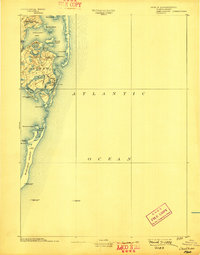
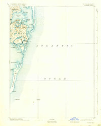
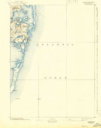
1893 Map of Chatham
USGS Topo · Published 1898About this map
Chatham Lights and several other navigational beacons guard the complex coastline of the outer Cape in the late nineteenth century. The settlement at Chatham is clustered near Mill Pond and Oyster Pond, while the more rural Chatham Port and North Chatham sit further north along the edges of Pleasant Bay. This survey captures the shifting barrier beach system of Nauset Beach and the slender reach of Monomoy Island, documenting a maritime landscape defined by its constant contact with the Atlantic Ocean.
Find a feature on this map
37 named features on this map. Tap any name to fly to it.
Don’t see what you’re looking for? This feature index may not catch every label — zoom into the map to look around manually.
Map Details
Editions of this 1893 Chatham Map
7 editions found
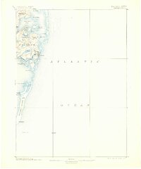
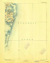
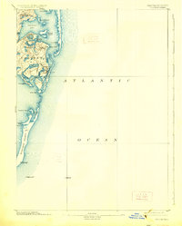
Other maps of this area

1887 · Wellfleet
USGS Topo · 1:62,500

1887 · Yarmouth
USGS Topo · 1:62,500

1888 · Chatham
USGS Topo · 1:62,500

1889 · Yarmouth
USGS Topo · 1:62,500

1889 · Wellfleet
USGS Topo · 1:62,500

1893 · Chatham
USGS Topo · 1:62,500

1893 · Yarmouth
USGS Topo · 1:62,500

1893 · Wellfleet
USGS Topo · 1:62,500

1917 · Chatham
USGS Topo · 1:62,500

1942 · Cape Cod Bay
USGS Topo · 1:125,000