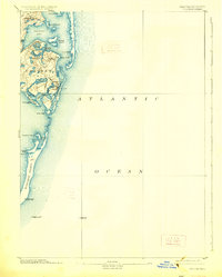
1893 Map of Chatham
USGS Topo · Published 1926About this map
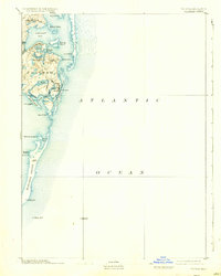
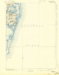
Chatham and its neighboring villages of North Chatham and Chatham Port dominate this coastal survey of the lower Cape. The landscape is defined by the shifting sands of Nauset Beach and the elongated stretch of Monomoy Island, which shields Chatham Harbor from the open Atlantic Ocean. The intricacies of the shoreline are evident in the numerous protected coves and ponds, including Ryders Cove, Oyster Pond, and Bassing Harbor, reflecting a maritime economy dependent on these sheltered waters.
Find a feature on this map
35 named features on this map. Tap any name to fly to it.
Don’t see what you’re looking for? This feature index may not catch every label — zoom into the map to look around manually.
Map Details
Editions of this 1893 Chatham Map
7 editions found
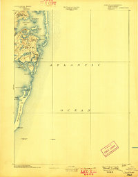
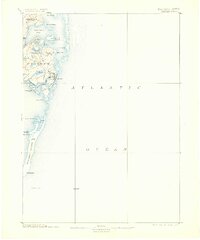
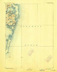
Other maps of this area

1887 · Wellfleet
USGS Topo · 1:62,500

1887 · Yarmouth
USGS Topo · 1:62,500

1888 · Chatham
USGS Topo · 1:62,500

1889 · Yarmouth
USGS Topo · 1:62,500

1889 · Wellfleet
USGS Topo · 1:62,500

1893 · Chatham
USGS Topo · 1:62,500

1893 · Yarmouth
USGS Topo · 1:62,500

1893 · Wellfleet
USGS Topo · 1:62,500

1917 · Chatham
USGS Topo · 1:62,500

1942 · Cape Cod Bay
USGS Topo · 1:125,000