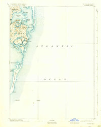
1893 Map of Chatham
USGS Topo · Published 1934About this map
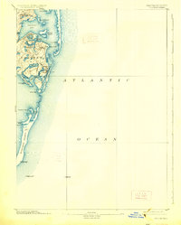
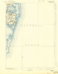
Monomoy Island stretches southward into the Atlantic Ocean in this late 19th-century survey of the Lower Cape. The maritime infrastructure of the era is remarkably dense, featuring land-based beacons like Chatham Lights and the Monomoy Point Light House, alongside offshore anchors like the Pollock Rip Light Ship. These aids to navigation guarded the complex waters of Chatham Harbor and Stage Harbor, where shifting sands and shoals defined the local economy and coastal safety.
Find a feature on this map
39 named features on this map. Tap any name to fly to it.
Don’t see what you’re looking for? This feature index may not catch every label — zoom into the map to look around manually.
Map Details
Editions of this 1893 Chatham Map
7 editions found
Other maps of this area

1887 · Wellfleet
USGS Topo · 1:62,500

1887 · Yarmouth
USGS Topo · 1:62,500

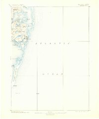
1888 · Chatham
USGS Topo · 1:62,500

1889 · Yarmouth
USGS Topo · 1:62,500

1889 · Wellfleet
USGS Topo · 1:62,500

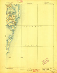
1893 · Chatham
USGS Topo · 1:62,500

1893 · Yarmouth
USGS Topo · 1:62,500

1893 · Wellfleet
USGS Topo · 1:62,500

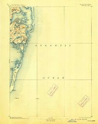
1917 · Chatham
USGS Topo · 1:62,500

1942 · Cape Cod Bay
USGS Topo · 1:125,000