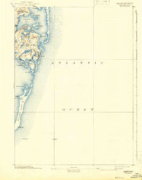
1893 Map of Chatham
USGS Topo · Published 1942About this map
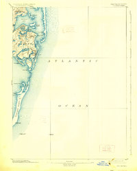
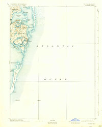
Chatham and the surrounding coastal reaches of Cape Cod are documented here in a detailed survey compiled by the Geological Survey and U.S. Coast and Geodetic Survey. This coastal environment is defined by its maritime safety infrastructure, including the Chatham Lights and the Monomoy Point Light House, as well as offshore markers like the Pollock Rip Light Ship. The settlement pattern centers on the village of Chatham and smaller outposts at North Chatham and Chatham Port. The map reveals an intricate network of waterways such as Pleasant Bay, Stage Harbor, and Chatham Harbor, protected from the Atlantic Ocean by the narrow barrier of Nauset Beach. The long, southward-reaching peninsula of Monomoy Island provides a look at this shifting coastline before twentieth-century changes altered the inlets and shoals.
Find a feature on this map
35 named features on this map. Tap any name to fly to it.
Don’t see what you’re looking for? This feature index may not catch every label — zoom into the map to look around manually.
Map Details
Editions of this 1893 Chatham Map
7 editions found
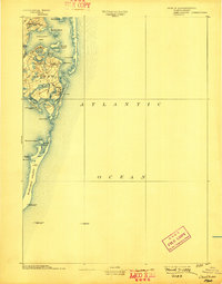
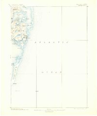
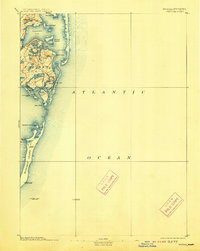
Other maps of this area

1887 · Wellfleet
USGS Topo · 1:62,500

1887 · Yarmouth
USGS Topo · 1:62,500

1888 · Chatham
USGS Topo · 1:62,500

1889 · Yarmouth
USGS Topo · 1:62,500

1889 · Wellfleet
USGS Topo · 1:62,500

1893 · Chatham
USGS Topo · 1:62,500

1893 · Yarmouth
USGS Topo · 1:62,500

1893 · Wellfleet
USGS Topo · 1:62,500

1917 · Chatham
USGS Topo · 1:62,500

1942 · Cape Cod Bay
USGS Topo · 1:125,000