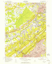
1955 Map of Chatham
USGS Topo · Published 1957About this map
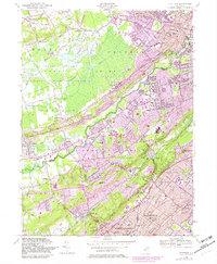
The Great Swamp dominates the northern reaches of this mid-century landscape, a contrast to the burgeoning post-war suburban corridors developing along the Delaware Lackawanna and Western RR. The Passaic River snakes between the rising slopes of the Watchung Mountains and Long Hill, anchoring a string of valley settlements from Stirling to New Providence. This era shows the distinct footprint of industrial and institutional growth, from the Waterworks and Sewage Disposal sites to the expansive Watchung Reservation.
Find a feature on this map
127 named features on this map. Tap any name to fly to it.
Don’t see what you’re looking for? This feature index may not catch every label — zoom into the map to look around manually.
Map Details
Editions of this 1955 Chatham Map
7 editions found
Other maps of this area

1888 · Plainfield
USGS Topo · 1:62,500

1888 · Morristown
USGS Topo · 1:62,500

1888 · Lake Hopatcong
USGS Topo · 1:62,500

1891 · Somerville
USGS Topo · 1:62,500

1893 · Plainfield
USGS Topo · 1:62,500

1893 · Somerville
USGS Topo · 1:62,500

1894 · Morristown
USGS Topo · 1:62,500

1894 · Lake Hopatcong
USGS Topo · 1:62,500

1898 · Lake Hopatcong
USGS Topo · 1:62,500

1898 · Morristown
USGS Topo · 1:62,500