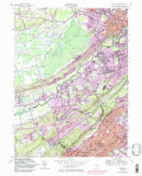
1955 Map of Chatham
USGS Topo · Published 1986About this map
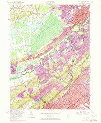
The Great Swamp National Wildlife Refuge and its sprawling Great Swamp wetlands dominate the northwestern portion of this mid-century survey, creating a sharp contrast with the intensifying suburban growth of the Passaic River valley. To the south and east, the landscape transitions into the residential and industrial corridors of Chatham, New Providence, and Berkeley Heights, where the Conrail railroad lines fueled mid-century expansion. The map captures an era of dense institutional development, particularly evident in the concentration of parochial sites like St Josephs Shrine, St Marys Academy, and Our Lady of Peace Sch. Significant topographical features like Long Hill, Stony Hill, and the Watchung Mountains define the local terrain, while the Watchung Reservation preserves a large tract of open space amid the expanding boroughs of Scotch Plains and Plainfield.
Find a feature on this map
102 named features on this map. Tap any name to fly to it.
Don’t see what you’re looking for? This feature index may not catch every label — zoom into the map to look around manually.
Map Details
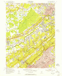
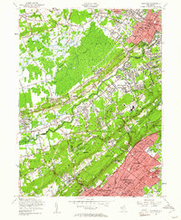
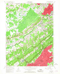
Editions of this 1955 Chatham Map
7 editions found
Other maps of this area

1888 · Plainfield
USGS Topo · 1:62,500

1888 · Morristown
USGS Topo · 1:62,500

1888 · Lake Hopatcong
USGS Topo · 1:62,500

1891 · Somerville
USGS Topo · 1:62,500

1893 · Plainfield
USGS Topo · 1:62,500

1893 · Somerville
USGS Topo · 1:62,500

1894 · Morristown
USGS Topo · 1:62,500

1894 · Lake Hopatcong
USGS Topo · 1:62,500

1898 · Lake Hopatcong
USGS Topo · 1:62,500

1898 · Morristown
USGS Topo · 1:62,500