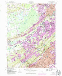
1955 Map of Chatham
USGS Topo · Published 1986About this map
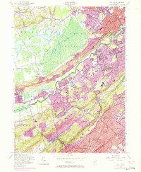
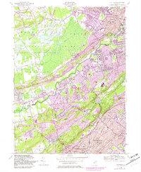
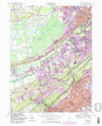
The Great Swamp National Wildlife Refuge and the surrounding suburban growth of the mid-1950s define this landscape at the intersection of Morris, Union, and Somerset counties. While the vast wetlands of the Great Swamp remain largely undeveloped, the surrounding ridges and valleys show significant post-war expansion, particularly in Berkeley Heights, New Providence, and Chatham. This survey documents the era's infrastructure before major highway projects dominated the region, showing the Conrail line connecting established town centers like Stirling, Gillette, and Summit.
Find a feature on this map
110 named features on this map. Tap any name to fly to it.
Don’t see what you’re looking for? This feature index may not catch every label — zoom into the map to look around manually.
Map Details
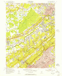
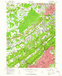
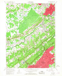
Editions of this 1955 Chatham Map
7 editions found
Other maps of this area

1888 · Plainfield
USGS Topo · 1:62,500

1888 · Morristown
USGS Topo · 1:62,500

1888 · Lake Hopatcong
USGS Topo · 1:62,500

1891 · Somerville
USGS Topo · 1:62,500

1893 · Plainfield
USGS Topo · 1:62,500

1893 · Somerville
USGS Topo · 1:62,500

1894 · Morristown
USGS Topo · 1:62,500

1894 · Lake Hopatcong
USGS Topo · 1:62,500

1898 · Lake Hopatcong
USGS Topo · 1:62,500

1898 · Morristown
USGS Topo · 1:62,500