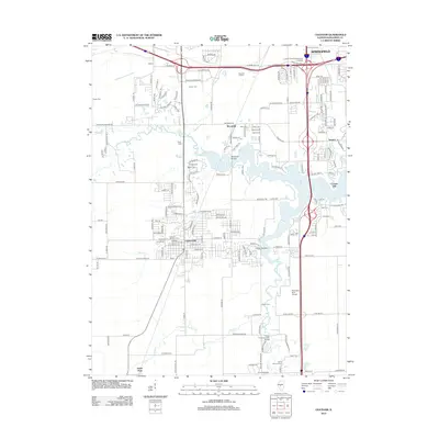
2012 Map of Chatham
USGS Topo · Published 2012About this map
Chatham and the southern reaches of Springfield anchor this detailed landscape, which balances suburban growth with deep-rooted rural landmarks. The map traces the winding courses of Lick Cr and Sugar Cr, the latter of which features the Sugar Creek Covered Bridge, a notable regional landmark. To the east, the sprawling waters of Lake Springfield define the local geography, surrounded by small communities like Toronto, Cotton Hill, and Woodside.
Find a feature on this map
77 named features on this map. Tap any name to fly to it.
Don’t see what you’re looking for? This feature index may not catch every label — zoom into the map to look around manually.
Map Details
Editions of this 2012 Chatham Map
This is the sole edition of this map. No revisions or reprints were ever made.
Other maps of this area

1907 · Springfield
USGS Topo · 1:62,500

1909 · Tallula
USGS Topo · 1:62,500

1922 · Divernon
USGS Topo · 1:62,500

1924 · Divernon
USGS Topo · 1:62,500

1924 · Waverly
USGS Topo · 1:62,500

1926 · Waverly
USGS Topo · 1:62,500

1930 · Springfield
USGS Topo · 1:62,500

1940 · Tallula
USGS Topo · 1:62,500

1940 · Springfield
USGS Topo · 1:62,500

1950 · Springfield West
USGS Topo · 1:24,000