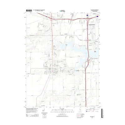
2015 Map of Chatham
USGS Topo · Published 2015About this map
Chatham and the southern outskirts of Springfield define this landscape in the mid-2010s, showing a mix of established residential neighborhoods and agricultural fields. The area is dense with family and community history, evidenced by numerous burial grounds such as Chatham Community Cem, Chatham Memorial Cem, and Saint Bernard Cem. The northern reach of the quadrangle shows the suburban growth of Southlawn and Woodside, while the eastern edge is dominated by the sprawling waters of Lake Springfield.
Find a feature on this map
65 named features on this map. Tap any name to fly to it.
Don’t see what you’re looking for? This feature index may not catch every label — zoom into the map to look around manually.
Map Details
Editions of this 2015 Chatham Map
This is the sole edition of this map. No revisions or reprints were ever made.
Other maps of this area

1907 · Springfield
USGS Topo · 1:62,500

1909 · Tallula
USGS Topo · 1:62,500

1922 · Divernon
USGS Topo · 1:62,500

1924 · Divernon
USGS Topo · 1:62,500

1924 · Waverly
USGS Topo · 1:62,500

1926 · Waverly
USGS Topo · 1:62,500

1930 · Springfield
USGS Topo · 1:62,500

1940 · Tallula
USGS Topo · 1:62,500

1940 · Springfield
USGS Topo · 1:62,500

1950 · Springfield West
USGS Topo · 1:24,000