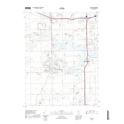
2018 Map of Chatham
USGS Topo · Published 2018About this map
Sugar Creek Covered Bridge and its neighboring Covered Bridge span the waterways south of Chatham, reflecting the historical infrastructure that once connected these central Illinois communities. This modern survey illustrates the suburban expansion of Springfield southward toward Glenarm, where residential developments like those along Plummer Blvd and Goldenrod Dr meet the agricultural lands of the Sangamon County prairie.
Find a feature on this map
98 named features on this map. Tap any name to fly to it.
Don’t see what you’re looking for? This feature index may not catch every label — zoom into the map to look around manually.
Map Details
Editions of this 2018 Chatham Map
This is the sole edition of this map. No revisions or reprints were ever made.
Other maps of this area

1907 · Springfield
USGS Topo · 1:62,500

1909 · Tallula
USGS Topo · 1:62,500

1922 · Divernon
USGS Topo · 1:62,500

1924 · Divernon
USGS Topo · 1:62,500

1924 · Waverly
USGS Topo · 1:62,500

1926 · Waverly
USGS Topo · 1:62,500

1930 · Springfield
USGS Topo · 1:62,500

1940 · Tallula
USGS Topo · 1:62,500

1940 · Springfield
USGS Topo · 1:62,500

1950 · Springfield West
USGS Topo · 1:24,000