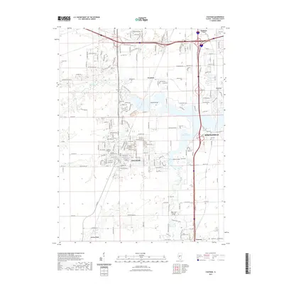
2021 Map of Chatham
USGS Topo · Published 2021About this map
Chatham and the southern reaches of Springfield anchor this modern Sangamon County landscape, where the suburban expansion of the capital city meets the older agricultural and infrastructure patterns of central Illinois. The eastern edge of the map is defined by the expansive Lake Springfield, a central geographic feature that reshaped the local drainage of Sugar Creek. Notable historical markers remain preserved within this evolving corridor, most significantly the Sugar Creek Covered Bridge located south of the main lake body. The area is dense with family and community burial grounds, including the Bethel Cem, Smith Cem, and Saint Bernard Cem, providing a detailed record for genealogical research. Transportation remains a primary theme, from the established route of the Illinois Central RR to the modern networks connecting Southern View, Woodside, and Glenarm.
Find a feature on this map
186 named features on this map. Tap any name to fly to it.
Don’t see what you’re looking for? This feature index may not catch every label — zoom into the map to look around manually.
Map Details
Editions of this 2021 Chatham Map
This is the sole edition of this map. No revisions or reprints were ever made.
Other maps of this area

1907 · Springfield
USGS Topo · 1:62,500

1909 · Tallula
USGS Topo · 1:62,500

1922 · Divernon
USGS Topo · 1:62,500

1924 · Divernon
USGS Topo · 1:62,500

1924 · Waverly
USGS Topo · 1:62,500

1926 · Waverly
USGS Topo · 1:62,500

1930 · Springfield
USGS Topo · 1:62,500

1940 · Tallula
USGS Topo · 1:62,500

1940 · Springfield
USGS Topo · 1:62,500

1950 · Springfield West
USGS Topo · 1:24,000