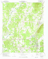
1972 Map of Chatsworth
USGS Topo · Published 1974About this map
Spring Place and the historical Vann House anchor the southwestern portion of this 1970s survey, where the valley floor transitions into the rising slopes of Camp Ground Mountain. The Louisville and Nashville railroad serves as the primary industrial corridor, connecting the settlements of Crandall, Eton, and Chatsworth. This transportation spine is paralleled by several family and community landmarks, including Zion Hill Ch, Fullers Chapel, and Mt Carmel Ch.
Find a feature on this map
54 named features on this map. Tap any name to fly to it.
Don’t see what you’re looking for? This feature index may not catch every label — zoom into the map to look around manually.
Map Details
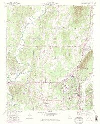
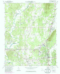
Editions of this 1972 Chatsworth Map
3 editions found
Other maps of this area

1886 · Dalton
USGS Topo · 1:125,000

1892 · Dalton
USGS Topo · 1:125,000

1897 · Dalton
USGS Topo · 1:125,000

1911 · Cohutta Mtn
USGS Topo · 1:62,500

1913 · Cohutta Mtn.
USGS Topo · 1:62,500

1914 · Talking Rock
USGS Topo · 1:62,500

1916 · Talking Rock
USGS Topo · 1:62,500
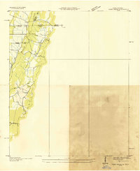
1935 · Tiger Creek
USGS Topo · 1:24,000

1938 · Chatsworth
USGS Topo · 1:48,000

1943 · Dalton
USGS Topo · 1:62,500