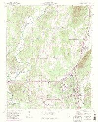
1972 Map of Chatsworth
USGS Topo · Published 1986About this map
Vann House and the surrounding valley floor are meticulously detailed in this 1970s record of Murray County. The Conasauga River defines the western boundary, its winding course creating features like Prater Island and Felkers Island near Mitchell Bridge. This area exhibits a distinct transition between the lowlands and the western edge of the Chattahoochee National Forest, where Camp Ground Mountain rises above the settled plains. The industrial and transportation corridor follows the Seaboard System railroad through Chatsworth and Eton, linking these communities to local resources like the Quarry and various gravel pits. Cultural landmarks such as Fullers Chapel, Zion Hill Ch, and the Chatsworth Heights Cem reflect the long-standing community structure of North Georgia in the late twentieth century.
Find a feature on this map
54 named features on this map. Tap any name to fly to it.
Don’t see what you’re looking for? This feature index may not catch every label — zoom into the map to look around manually.
Map Details
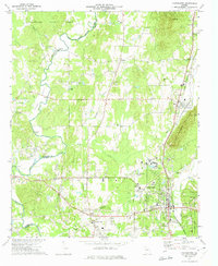
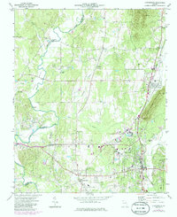
Editions of this 1972 Chatsworth Map
3 editions found
Other maps of this area

1886 · Dalton
USGS Topo · 1:125,000

1892 · Dalton
USGS Topo · 1:125,000

1897 · Dalton
USGS Topo · 1:125,000

1911 · Cohutta Mtn
USGS Topo · 1:62,500

1913 · Cohutta Mtn.
USGS Topo · 1:62,500

1914 · Talking Rock
USGS Topo · 1:62,500

1916 · Talking Rock
USGS Topo · 1:62,500
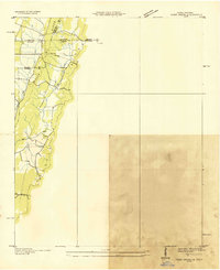
1935 · Tiger Creek
USGS Topo · 1:24,000

1938 · Chatsworth
USGS Topo · 1:48,000

1943 · Dalton
USGS Topo · 1:62,500