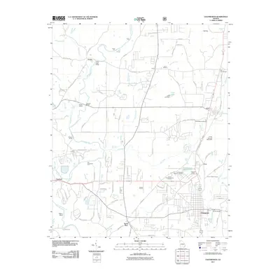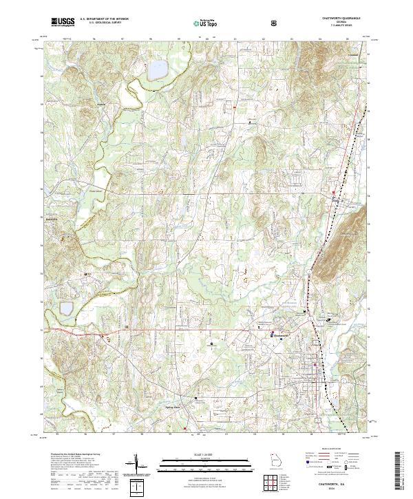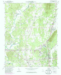
1972 Map of Chatsworth
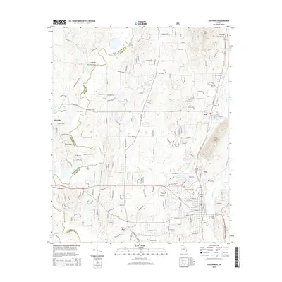
USGS Topo · Published 1986About this map
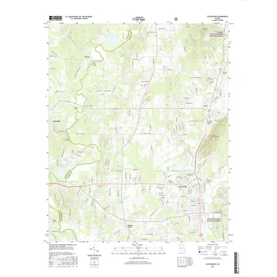
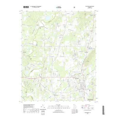
The Vann House stands as a significant cultural anchor in this North Georgia landscape, situated just north of the historic settlement of Spring Place. This 1970s survey, with photogrammetric revisions from the early 1980s, reveals a region defined by the winding course of the Conasauga River, which serves as the county line between Whitfield and Murray. The industrial and transit character of the corridor is shaped by the Seaboard Coast Line railroad, which links the towns of Eton, Crandall, and the county seat at Chatsworth. To the east, the rising slopes of Camp Ground Mountain mark the edge of the Chattahoochee National Forest. This map documents a traditional landscape of small country churches like Fullers Chapel and Gethsemane Ch, alongside the emerging residential developments around Chatsworth Heights.
Find a feature on this map
50 named features on this map. Tap any name to fly to it.
Don’t see what you’re looking for? This feature index may not catch every label — zoom into the map to look around manually.
Map Details
Editions of this 1972 Chatsworth Map
3 editions found
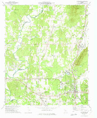
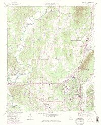
Historical Maps of Chatsworth Through Time
6 maps found