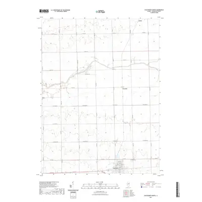
2021 Map of Chatsworth North
USGS Topo · Published 2021About this map
Chatsworth anchors the southern boundary of this Livingston County landscape, showing the organized grid of a small Illinois prairie town with streets such as E Cherry St and E Walnut St. The terrain is defined by the winding course of the North Fork Vermilion River, which carves a subtle valley through the surrounding agricultural sections. Between the larger hubs of Cullom to the north and Chatsworth to the south, the smaller settlement of Charlotte sits at a rural crossroads.
Find a feature on this map
79 named features on this map. Tap any name to fly to it.
Don’t see what you’re looking for? This feature index may not catch every label — zoom into the map to look around manually.
Map Details
Editions of this 2021 Chatsworth North Map
This is the sole edition of this map. No revisions or reprints were ever made.
Other maps of this area

1944 · Piper City
USGS Topo · 1:48,000

1947 · Piper City
USGS Topo · 1:62,500

1947 · Sibley
USGS Topo · 1:62,500

1947 · Cullom
USGS Topo · 1:62,500

1948 · Buckley
USGS Topo · 1:62,500

1949 · Buckley
USGS Topo · 1:62,500

1949 · Cullom
USGS Topo · 1:62,500

1949 · Sibley
USGS Topo · 1:62,500

1958 · Peoria
USGS Topo · 1:250,000

1961 · Peoria
USGS Topo · 1:250,000