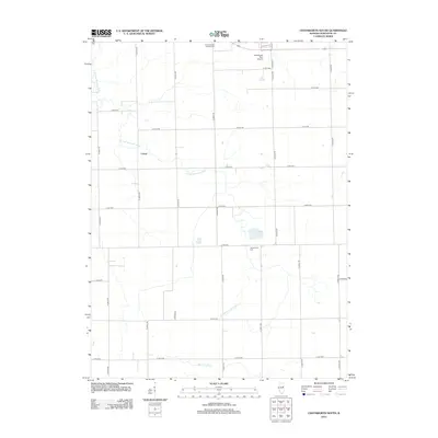
2012 Map of Chatsworth South
USGS Topo · Published 2012About this map
The S Fork Vermillion River meanders across this rural Illinois landscape, defining the agricultural character of Livingston County. The small settlement of Cereal serves as a central point in a grid of section roads that partition the fertile plains. This 2012 survey illustrates the persistence of early land divisions and community anchors, such as Saint Patrick's Catholic Cem near the northern boundary and Germanville Cem further south. Modern infrastructure is represented by the Chatsworth RLA Airport, while drainage features like the Big Four Ditch highlight the intensive water management necessary for large-scale prairie farming. The map also identifies localized water features like Turtle Pond, which break the geometric regularity of the surrounding fields.
Find a feature on this map
29 named features on this map. Tap any name to fly to it.
Don’t see what you’re looking for? This feature index may not catch every label — zoom into the map to look around manually.
Map Details
Editions of this 2012 Chatsworth South Map
This is the sole edition of this map. No revisions or reprints were ever made.
Other maps of this area

1944 · Piper City
USGS Topo · 1:48,000

1947 · Piper City
USGS Topo · 1:62,500

1947 · Sibley
USGS Topo · 1:62,500

1947 · Cullom
USGS Topo · 1:62,500

1948 · Buckley
USGS Topo · 1:62,500

1949 · Buckley
USGS Topo · 1:62,500

1949 · Cullom
USGS Topo · 1:62,500

1949 · Sibley
USGS Topo · 1:62,500

1958 · Peoria
USGS Topo · 1:250,000

1961 · Peoria
USGS Topo · 1:250,000