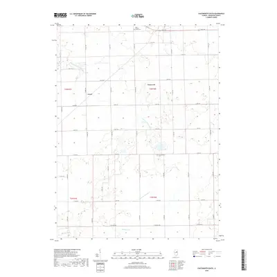
2018 Map of Chatsworth South
USGS Topo · Published 2018About this map
Chatsworth and the small locality of Cereal anchor this agricultural landscape in Livingston County, where the township grid meets the meandering path of the S Fork Vermilion River. This 2018 survey documents a region defined by its drainage and burial grounds, providing critical details for local researchers. The Germanville Cem and Saint Patrick's Catholic Cem stand as significant genealogical landmarks within the rural sections of T26N and T25N. Water management is a visible priority across the terrain, evidenced by the Big Four Ditch and natural catchments like Turtle Pond. The road network follows a strict section-line hierarchy, with routes such as E 800 N RD and N 3000 E RD connecting the scattered farmsteads and rural infrastructure that sustain this Central Illinois prairie community.
Find a feature on this map
31 named features on this map. Tap any name to fly to it.
Don’t see what you’re looking for? This feature index may not catch every label — zoom into the map to look around manually.
Map Details
Editions of this 2018 Chatsworth South Map
This is the sole edition of this map. No revisions or reprints were ever made.
Other maps of this area

1944 · Piper City
USGS Topo · 1:48,000

1947 · Piper City
USGS Topo · 1:62,500

1947 · Sibley
USGS Topo · 1:62,500

1947 · Cullom
USGS Topo · 1:62,500

1948 · Buckley
USGS Topo · 1:62,500

1949 · Buckley
USGS Topo · 1:62,500

1949 · Cullom
USGS Topo · 1:62,500

1949 · Sibley
USGS Topo · 1:62,500

1958 · Peoria
USGS Topo · 1:250,000

1961 · Peoria
USGS Topo · 1:250,000