
1893 Map of Chattanooga
USGS Topo · Published 1893About this map
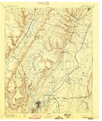
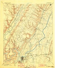
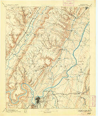
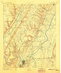
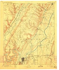
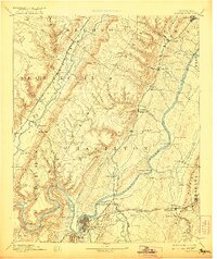
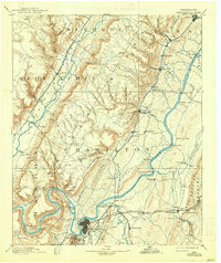
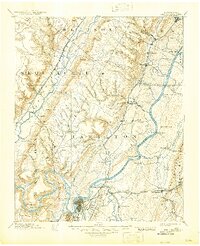
Chattanooga serves as the industrial and transportation anchor of this late 19th-century landscape, where the Tennessee River winds beneath the heights of Lookout Mountain and Missionary Ridge. The map reveals a river-driven economy before modern dam systems, evidenced by numerous crossings like Brown Ferry, Harrison Ferry, and Eldridge Landing. The influence of heavy industry and natural resource extraction is clear at the Mc Nabb Mines and Aetna Mines near the river, as well as the Grindstone Mill to the east.
Find a feature on this map
110 named features on this map. Tap any name to fly to it.
Don’t see what you’re looking for? This feature index may not catch every label — zoom into the map to look around manually.
Map Details
Editions of this 1893 Chattanooga Map
9 editions found
Other maps of this area

1886 · Dalton
USGS Topo · 1:125,000

1886 · Cleveland
USGS Topo · 1:125,000

1886 · Ringgold
USGS Topo · 1:125,000

1886 · Stevenson
USGS Topo · 1:125,000

1887 · Kingston
USGS Topo · 1:125,000

1888 · Chattanooga
USGS Topo · 1:125,000

1891 · Kingston
USGS Topo · 1:125,000

1892 · Pikeville
USGS Topo · 1:125,000

1892 · Ringgold
USGS Topo · 1:125,000

1892 · Cleveland
USGS Topo · 1:125,000