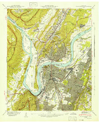
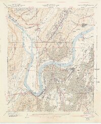
1941 Map of Chattanooga
USGS Topo · Published 1941About this map
Chattanooga serves as the industrial and transportation hub of the Tennessee River valley in this 1941 survey, showing the city just before the height of its wartime expansion. The river dominates the landscape, featuring the dramatic hairpin turn at Moccasin Bend and the presence of Hales Bar Reservoir. Civil War history is visible through landmarks like Orchard Knob, Fort Cheatham, and the Confederate Cem, while the urban core is defined by the Union Station and Terminal Station rail yards.
Find a feature on this map
115 named features on this map. Tap any name to fly to it.
Don’t see what you’re looking for? This feature index may not catch every label — zoom into the map to look around manually.
Map Details
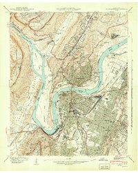
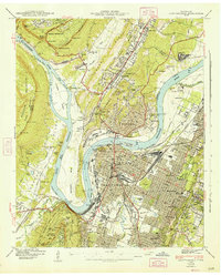
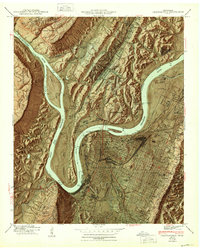
Editions of this 1941 Chattanooga Map
5 editions found
Other maps of this area

1886 · Ringgold
USGS Topo · 1:125,000

1888 · Chattanooga
USGS Topo · 1:125,000

1892 · Ringgold
USGS Topo · 1:125,000

1893 · Chattanooga
USGS Topo · 1:125,000

1935 · East Chattanooga
USGS Topo · 1:24,000

1935 · Daisy
USGS Topo · 1:24,000

1935 · East Ridge
USGS Topo · 1:24,000

1936 · Ketner Gap
USGS Topo · 1:24,000

1936 · Hooker
USGS Topo · 1:24,000

1936 · Fort Oglethorpe
USGS Topo · 1:24,000