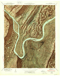
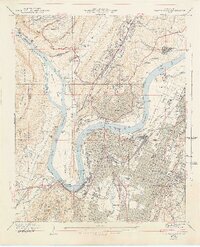
1941 Map of Chattanooga
USGS Topo · Published 1947About this map
Moccasin Bend anchors this 1940s landscape, where the Tennessee River loops sharply around the base of Lookout Mountain. The city's identity as a premier rail hub is evident in the convergence of the Southern, NC & St L, and Central of Georgia lines, centering on Union Station and Terminal Station. Urban growth spreads from the riverfront toward Missionary Ridge, encompassing diverse neighborhoods like St Elmo, Highland Park, and North Chattanooga. Significant institutional landmarks include the University of Chattanooga, Erlanger Hospital, and the sprawling National Cemetery. Beyond the city grid, the map details the transition to the Cumberland Escarpment and the steep terrain of Raccoon Mountain, providing a clear view of the region's complex geography before modern interstate development altered the valley floor.
Find a feature on this map
121 named features on this map. Tap any name to fly to it.
Don’t see what you’re looking for? This feature index may not catch every label — zoom into the map to look around manually.
Map Details
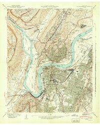
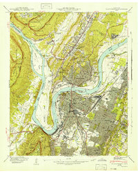
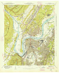
Editions of this 1941 Chattanooga Map
5 editions found
Other maps of this area

1886 · Ringgold
USGS Topo · 1:125,000

1888 · Chattanooga
USGS Topo · 1:125,000

1892 · Ringgold
USGS Topo · 1:125,000

1893 · Chattanooga
USGS Topo · 1:125,000

1935 · East Chattanooga
USGS Topo · 1:24,000

1935 · Daisy
USGS Topo · 1:24,000

1935 · East Ridge
USGS Topo · 1:24,000

1936 · Ketner Gap
USGS Topo · 1:24,000

1936 · Hooker
USGS Topo · 1:24,000

1936 · Fort Oglethorpe
USGS Topo · 1:24,000