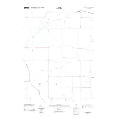
2013 Map of Chatterton
USGS Topo · Published 2013About this map
Foresman and Chatterton anchor this survey of the agricultural landscape in rural Benton County, Indiana. The map reveals an intricate network of water management features essential to the region's productive farmland, including the extensive Harrington Ditch, Woodham Ditch, and Clawson Ditch which feed into the primary natural drainage of Big Pine Cr and Kickapoo Cr.
Find a feature on this map
49 named features on this map. Tap any name to fly to it.
Don’t see what you’re looking for? This feature index may not catch every label — zoom into the map to look around manually.
Map Details
Editions of this 2013 Chatterton Map
This is the sole edition of this map. No revisions or reprints were ever made.
Other maps of this area

1942 · Otterbein
USGS Topo · 1:24,000

1951 · Otterbein
USGS Topo · 1:24,000

1953 · Danville
USGS Topo · 1:250,000

1955 · Danville
USGS Topo · 1:250,000

1956 · Danville
USGS Topo · 1:250,000

1961 · Chatterton
USGS Topo · 1:24,000

1961 · Pine Village
USGS Topo · 1:24,000

1961 · Otterbein
USGS Topo · 1:24,000
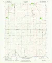
1962 · Round Grove
USGS Topo · 1:24,000

1962 · Templeton
USGS Topo · 1:24,000